The view from the top...
Have you checked out our backyard lately?
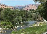
Mission Peak soars above Fremont's rolling hills.
Where do you go to hike this 2,999 acre peak? Follow Stanford Ave off of Mission Boulevard to it's east end. This will lead you to the staging area. The climb is steep from this location. You can get driving directions from Google maps!
If you desire a more gradual ascent, take the trail up from the Ohlone College parking lots.
Which ever path you choose to follow, your journey will surely be an adventure!
Mission Peak soars above Fremont's rolling hills.

Mission Peak has been described as one of the Bay Area's most underrated summits. The determined hiker who reaches its top (2.8 miles) will be rewarded with views of Mount Hamilton to the south, the Santa Cruz Mountains to the west, Mt. Tamalpais to the north, and Mt. Diablo and the Sierra Nevada to the northeast.
Where do you go to hike this 2,999 acre peak? Follow Stanford Ave off of Mission Boulevard to it's east end. This will lead you to the staging area. The climb is steep from this location. You can get driving directions from Google maps!
If you desire a more gradual ascent, take the trail up from the Ohlone College parking lots.
Which ever path you choose to follow, your journey will surely be an adventure!
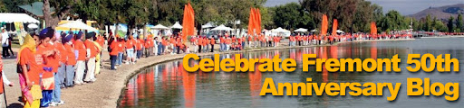
posted by Celebrate Fremont at 9:47 PM
![]()
![]()

<< Home